
Shifting Shorelines & Shipwrecks
By Capt. Olivia
When we see wrecked ships on our boat tours around Folly Beach, passengers always get excited imagining the dramatic scene that may have unfolded: a storm, a collision, or a boat being overturned by a rogue wave.
But along the South Carolina coast, it’s often a quieter trap that boaters fall into. Our unusually shallow shoreline mixed with a constantly shifting landscape means that places to run aground are abundant and their location can be hard to predict.
This is partly due to the South Atlantic Bight, the submerged portion of the continental shelf that extends the furthest out into the ocean along the coast of South Carolina and Georgia. Because of this, our coast remains relatively shallow until the shelf drops off into the deep ocean. The exact distance varies, but off the coast of Charleston it’s about 60 miles out.
The shallow, flat terrain of the South Atlantic Bight provides the perfect foundation for sand to accumulate and barrier islands to emerge. Ocean currents are continuously arriving in South Carolina carrying sand they’ve picked up elsewhere, and depositing it along our coast, sometimes building new islands before our eyes.
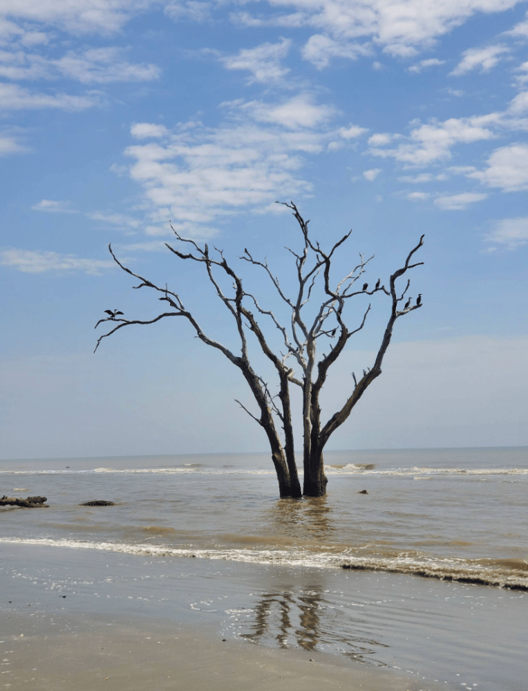
Because barrier islands are essentially just large sandbars, they are constantly being reshaped by currents, wind, and waves. As one area of an island erodes and another accumulates, the islands move, leaving behind shallow remnants in their wake. Evidence of this movement is abundant on our islands, but especially in our “Boneyard Beaches”, where old maritime forests – once lush and green while safely tucked in the interior of an island – are now dead trees seemingly growing out of the sand, soon to be lost to the ocean.
In addition to the steady movement of sand along the coast due to currents, storms provide occasional, powerful bursts of change for our islands. You may think you know a particular channel well, but one storm can come through and redistribute enough sand to change everything.
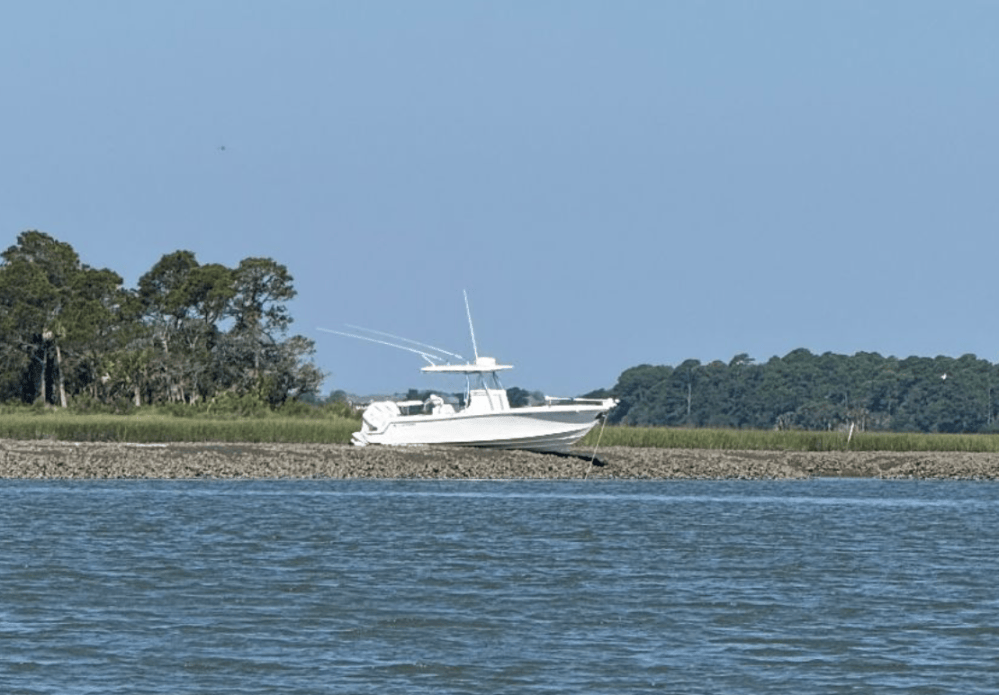 On the backside of the barrier islands, in our winding salt marsh estuaries, remaining in deep water becomes even more difficult for boaters. Expansive pluff mud flats and oyster bars create more costly obstacles, often lurking inches under the surface, just out of sight. Less than an hour of tidal change could be the difference between making it safely through a passage and running aground.
Once a vessel is wrecked, the same forces that helped cause the wreck can quickly make retrieval near impossible. Changing tides, combined with currents and wind can swiftly carry it far away. Along the way, sharp oysters are waiting to gouge the hull, making potential retrieval even more difficult and costly. Moving sand can bury the wreck, or shift the surrounding shoreline, leaving the vessel far from any water. Some wrecks disappear beneath the sediment for decades before storms or changing currents expose pieces again.
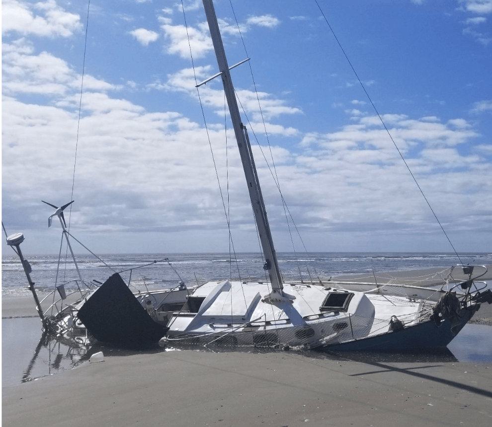
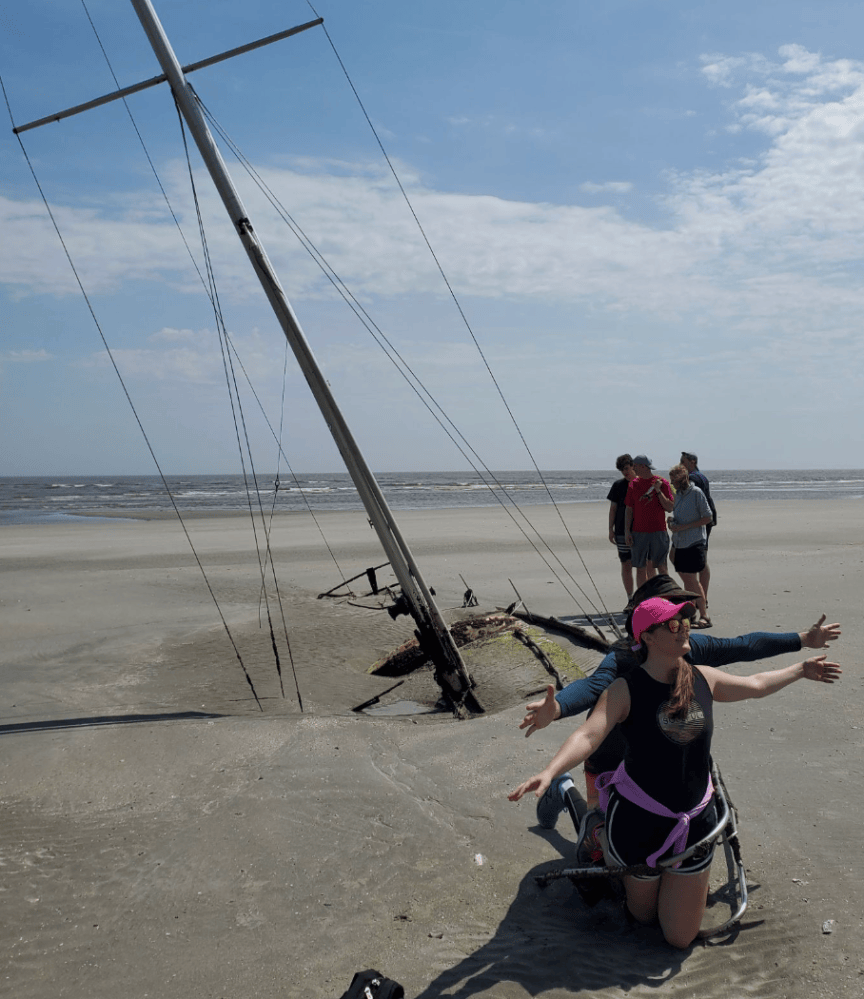
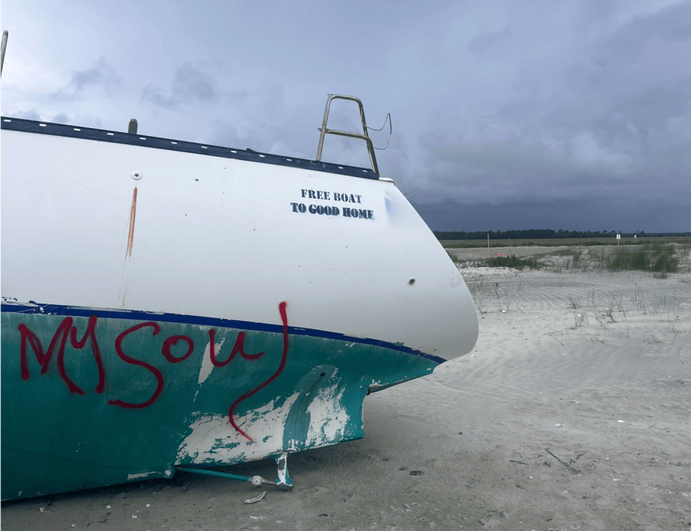
Photos: The same shipwreck less than two years apart.
The southeastern coast is a unique landscape. The South Atlantic Bight creates perfect conditions for the calm, warm water and sandy, beautiful beaches that make coastal SC such a desirable destination. But those same conditions make navigating our waterways a bit trickier as well. It’s easy to look at our glassy, picturesque waterways and assume nothing can go wrong, but if you want to maximize your enjoyment on the water, don’t underestimate our coastline (and maybe take a boating lesson with us first 😉)!